The National Weather Service has placed the WBKR listening area under a Slight Risk of severe weather today. Areas to the west are under a Moderate Risk.
The National Weather Service has placed the tristate under a Wind Advisory for Thursday. In addition to seeing sustained winds between 25 to 35 mph, we could see much stronger gusts throughout the day. Here's a look at the latest forecast and the potentially affected areas.
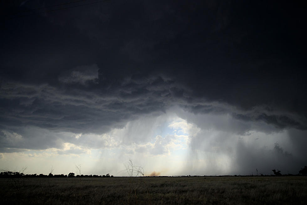
The National Weather Service has placed the WBKR listening area under a Slight Risk of severe weather on Sunday. Here's how the forecast is shaping up.
This is not the kind of news we expected on the first official day of spring! Eyewitness Meteorologist Ron Rhodes says we could see snow showers next Monday night into Tuesday. What???!!!!
The National Weather Service has issued a Winter Weather Advisory for parts of the tristate. Primarily, the areas affected are north of the Ohio River.
After some incredibly mild days here in the tristate, Mother Nature is winding up and getting ready to throw a curve ball our way. According to Ron Rhodes from Eyewitness News, we could see some snow this weekend. In fact, we could see some minor accumulations on Sunday. Take a look!
The National Weather Service has placed much of the WBKR listening area under an ENHANCED risk of severe weather this weekend. Areas north of the Ohio River are under a SLIGHT risk. Areas south of the river are under a more significant risk. Here's the latest . . .
The National Weather Service says we could see more heavy rain and the possibility of severe weather this weekend. Here's the Friday/Saturday forecast.