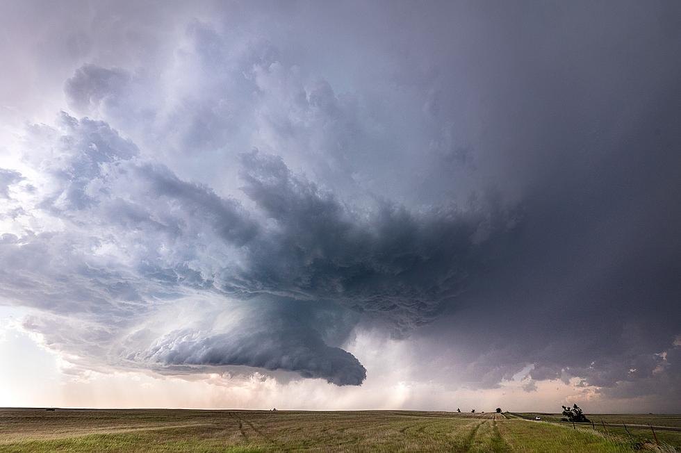
Tornadoes are a real possibility Friday night. Most of the tri-state is under a level 3 ENHANCED risk. Union County, Kentucky and points west are under a MODERATE risk.
Western Kentucky and southern Indiana are under a level three ENHANCED risk for severe weather, including the potential for tornadoes, late Friday night.
Spring is only a week old and we're already into the stormy season. In fact Saturday, we'll see nice conditions only to have those go away with a front moving in and with it, the possibility of severe weather for the Tri-State.
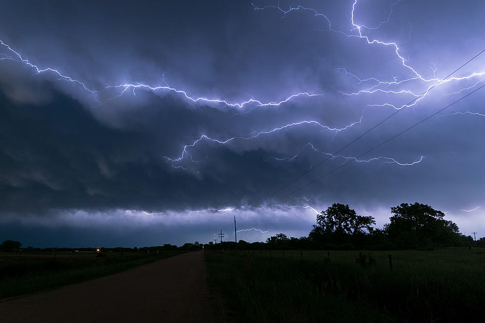
After a couple of rounds of severe weather rolled through the Tri-State Friday night and early Saturday, residents still need to be weather aware going into Saturday evening/night and for all day Sunday.
Who knew that when Daylight Savings Time started that the weather would instantly start to look frightful. Here's what we have on tap for the first full week for November.
It looks like portions of the Tri-State are now officially moving into "Tornado Alley"; for some reason I always thought we were already part of it, but new research finally confirms it.
Severe weather season is upon us. I spoke with Vicky Connor today with Emergency Management of Daviess County, on how each family can be prepared for severe weather.
According to Ron Rhodes from Eyewitness News, this weekend is shaping up to a potentially stormy one. In fact, the National Weather Service has placed the entire WBKR listening area under an enhanced risk of severe weather Friday.
After a wild night of severe thunderstorms, a new system is headed our way with a MODERATE risk potential for later Tuesday night into Wednesday morning. Here's the latest from the National Weather Service in Paducah:
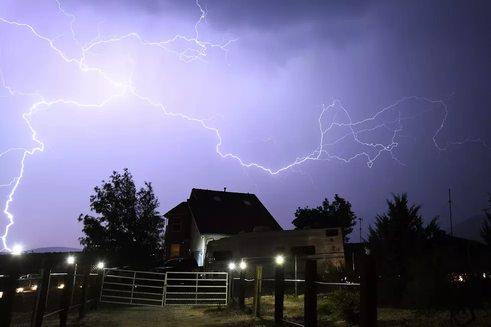
Locally heavy rain and lightning will dominate most of the storms early Tuesday morning...