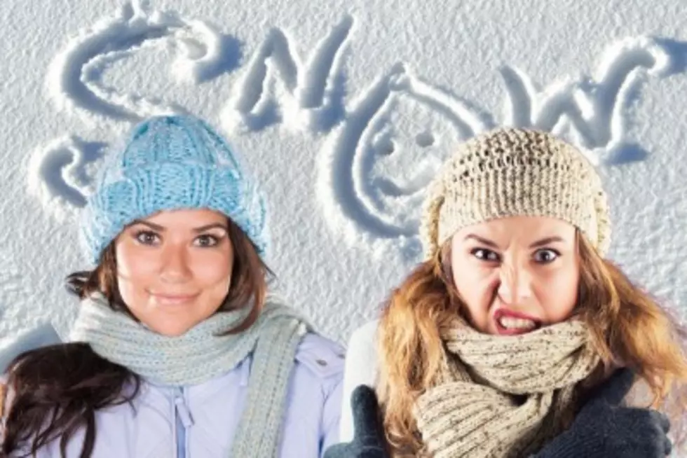
Wayne Hart Calling for Near Blizzard-Like Conditions Tonight
As you likely know, parts of the tristate are under a Winter Storm Warning tonight. Eyewitness News Meteorologist Wayne Hart says we could experience near blizzard-like conditions.
From Wayne Hart:
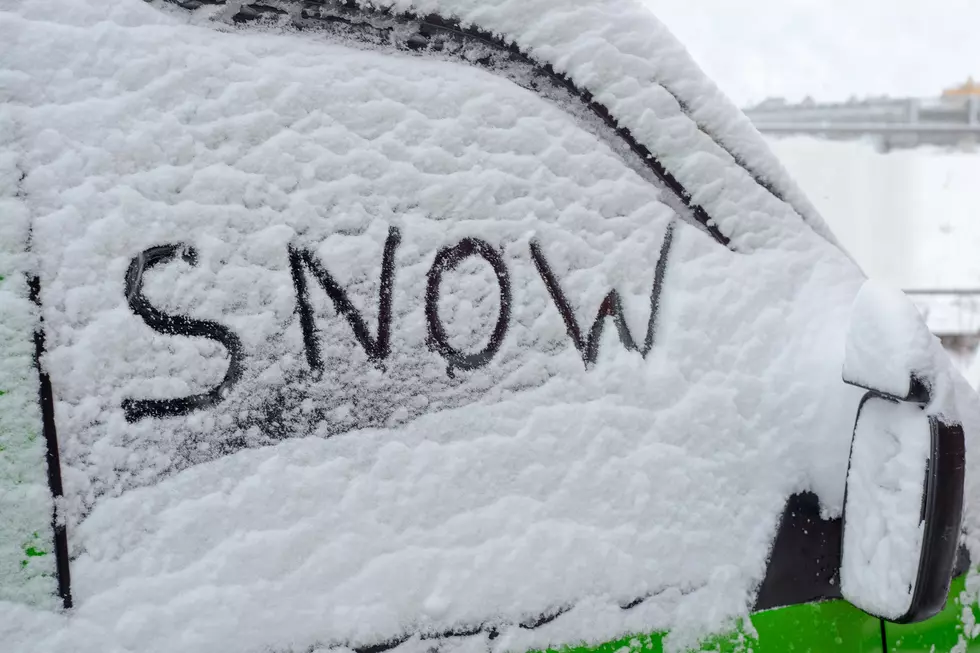
Just finished up with the NWS Paducah conference call concerning the upcoming winter storm. The snowfall forecast has certainly increased over the past 24 hours (1-6" in general across #tristatewx), but don't focus too much on the numbers. Near-blizzard like conditions are likely across a good deal of the area this evening for about one to two hours as the heavier snow falls with the strong gusty winds. And most of the snow will accumulate quickly this evening during a two-to-four hour time frame before ending later tonight. Road conditions will deteriorate quickly after sunset as temperatures fall below 32 which may lead to a flash freeze of the wet roads right before the snow begins to accumulate. Travel will be better tomorrow with the help of some sun & less wind, but temps will remain below freezing until later Monday.
Earlier this morning, the National Weather Service issued a Winter Storm Warning for parts of the WBKR listening area. That area includes Evansville and Owensboro. The sections of the tristate that are not included in the Winter Storm Warning are under a Winter Weather Advisory. Snow is definitely on the way. Here's a look at the estimated arrival times across the tristate . . .
Stay tuned to WBKR, WBKR.com, the WBKR Facebook page and the WBKR app. We'll share more breaking weather news as it becomes available.
More From WBKR-FM