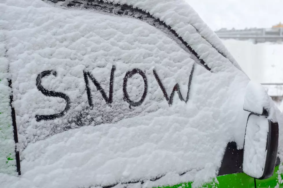
![Winter Weather Advisory in Effect for Tristate [Forecast]](http://townsquare.media/site/76/files/2018/11/A24.jpg?w=980&q=75)
Winter Weather Advisory in Effect for Tristate [Forecast]
The Winter Storm Watch issued yesterday has been downgraded to a Winter Weather Advisory. However, according to the National Weather Service, we could still see a wintry mix and one to three inches of snow.
The areas above that are shaded in pink are under a Winter Storm Warning. The areas shaded in purple face the Winter Weather Advisory. Here's what the National Weather Service says we can expect . . .
* WHAT...Snow, occasionally mixed with light freezing rain, will develop and spread north across the area. Total snow accumulations of 2 to 3 inches with isolated higher amounts, along with ice accumulations of up to around one tenth of an inch, are expected.
* WHERE...This will affect southwest Indiana, southeast Missouri, western Kentucky and portions of southern Illinois east of Interstate 57.
* WHEN...From 3 PM this afternoon to 6 PM CST Thursday.
Stay tuned to WBKR and WBKR.com. We'll continue to monitor the approaching storm and, with the help of the National Weather Service and our friends at Eyewitness News, we'll keep you posted.
More From WBKR-FM