Winter Storm Watch in Effect for Wednesday and Thursday
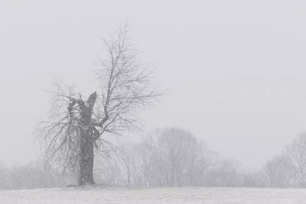
The National Weather Service has issued a Winter Storm Watch for parts of the WBKR listening area. It goes into effect Wednesday afternoon and carries into Thursday evening. Some areas could see accumulations up to five inches!
Here's a look at the current Winter Storm Watch map . . .
Here's the latest forecast from the NWS. A Winter Storm Watch is in effect for the areas shaded in blue above. The Watch is in effect from Wednesday afternoon to Thursday afternoon.
* WHAT...Heavy mixed precipitation possible. Total snow accumulations of 2 to 5 inches and ice accumulations of around one tenth of an inch possible.
* WHERE...Portions of southwest Indiana, southeast Missouri, western Kentucky and southern Illinois. The highest snow accumulations expected over parts of southern Illinois, southeast Missouri, and part of the Purchase Area of West Kentucky. Lesser amounts of snow, possibly mixed with ice are likely over the southern Pennyrile region of west Kentucky.
* WHEN...From Wednesday afternoon through Thursday afternoon. A wintry mix of precipitation will be possible during the Wednesday evening rush hour over the southern Pennyrile and southern Purchase area of west Kentucky. Snowfall and mixed precipitation will then spread across the southeast Missouri, Southern Illinois and southwest Indiana Wednesday Night and Thursday morning.
Here at WBKR, we'll keep in touch with the National Weather Service and our friends at Eyewitness News for additional forecast info.
.
More From WBKR-FM

