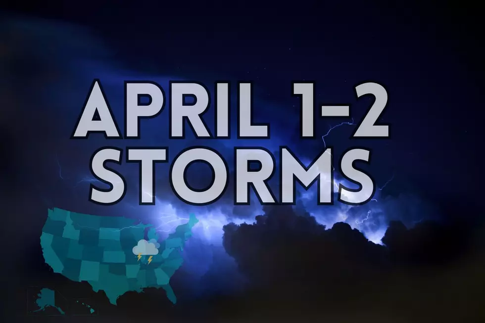
Here’s What to Expect During the Strong Storms Hitting Parts of Indiana, Kentucky, and Illinois on April 1-2, 2024
Strong storms are on the way, folks. Here at Townsquare Media, we utilize the expertise of both the National Weather Service and Chief Meteorologist, Wayne Hart at Eyewitness News 25. The thing about this system - it's changing rapidly. Here are the graphics I pulled from the NWS from the Indianapolis, Paducah, and Central Illinois offices. As you can see - they are a little different. The Illinois map is the most recent and it's placing the tri-state in an 'Enhanced' risk of strong storms.


An article from wcnc.com outlines the differences this way:
A marginal risk means isolated severe storms are possible, with the threat of isolated damaging winds, small hail and maybe a tornado.
A slight risk ramps up the probability, with more storm reports.
The enhanced risk notes more numerous or widespread severe storms -- some of those can be intense.

What About the Tri-State?
So, now, let's see what Wayne has to say about this potential weather event. He posted this to Facebook today.
SEVERE STORM THREAT BEGINS MAINLY LATE MONDAY NIGHT: A few storms may flirt with the northern fringe of the Tri-State Monday afternoon, but the focus remains on the late evening/overnight hours (11pm-5am) when we will be under a MARGINAL-ENHANCED (levels 1-3 of 5) risk for severe storms. Damaging winds will be the primary concern though large hail (possibly as large as hen eggs north of I-64 in Illinois) & a few tornadoes are also possible with a complex of storms expected to move thru from west to east. The bulk of the storms may remain along & north of the Ohio River (in the ENHANCED risk area) with lower chances south across western Kentucky.


WHAT TIME WILL THE STORMS ARRIVE?
Will see the storms overnight starting around 10 pm in the Missouri area. It will roll into the tri-state around 2A-6A - more specifically around 3-5 A.

Then, we are going to get hit again on Tuesday. Here's what Wayne had to say about the upcoming storm system tomorrow.
SEVERE STORM THREAT TUESDAY AFTERNOON: Scattered storms are expected to develop ahead of a cold front Tuesday afternoon with a MARGINAL-ENHANCED (levels 1-3 of 5) risk for severe storms across the Tri-State. Coverage with this round will be more scattered than the early morning wave with damaging winds the primary concern, though large hail & a few tornadoes will also be possible mainly across our Indiana & Kentucky counties. The highest risk will be across the southeast corner of the Tri-State (ENHANCED area - Muhlenberg & Ohio counties) as the storms gradually develop & move thru from northwest to southeast Noon to 6pm

Make sure your phone is set up to receive severe weather alerts and download our app. If the weather gets bad, we'll go wall-to-wall with coverage from Eyewitness News.

KEEP READING: Get answers to 51 of the most frequently asked weather questions...
More From WBKR-FM