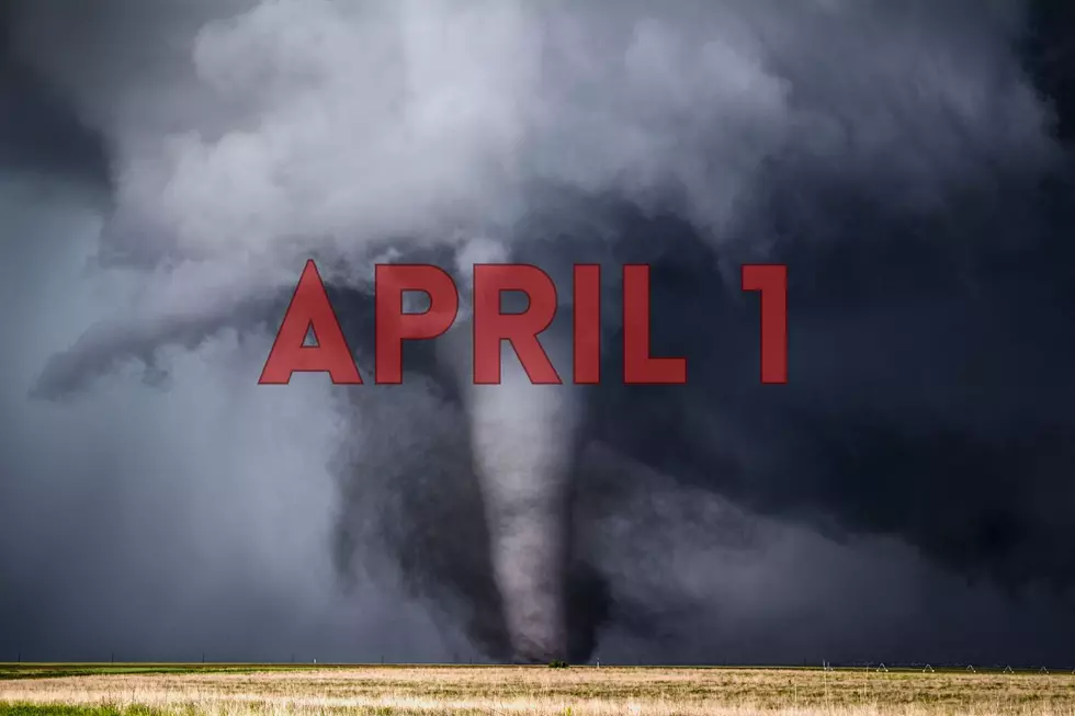
NWS Warns of Hail, Damaging Winds, and Possible Tornadoes Monday in Parts of Indiana, Kentucky, and Illinois
UPDATE: APRIL 1, 2024 6:15 AM
The National Weather Service has downgraded parts of the tri-state to a Slight Risk. The newest graphic states that the main weather threat will happen in southeast Missouri and Southern Illinois.
A frontal boundary just north of the area will be the focus for storm development this afternoon and tonight along with a line of storms possible that will start to move through the area from the west. Main severe threats are damaging winds, large hail, and a few tornadoes.
HAZARDOUS WEATHER OUTLOOK
This Hazardous Weather Outlook is for portions of southern Illinois, southwest Indiana, western Kentucky, and southeast Missouri.
DAY ONE...Today and Tonight
The chance for severe weather peaks overnight. Damaging winds will be the primary hazard, but tornadoes and large hail are also potential hazards. The greatest risk for severe weather is along and north of a line from Van Buren, Missouri, to Carmi, Illinois.
DAYS TWO THROUGH SEVEN...Tuesday through Sunday
There is a chance of severe weather Tuesday, including damaging winds, tornadoes, and large hail. The greatest risk for severe weather Tuesday is in southwest Indiana and western Kentucky.
Outside of thunderstorms, strong wind gusts 30 to 40 mph are possible Tuesday through Wednesday.
Much colder air arrives for the mid to late week, which will bring the potential for frost and freezing temperatures. Thursday night offers the best chance of this occurrence.
FORECAST
A chance of showers and thunderstorms, then showers likely and possibly a thunderstorm after 1pm. Mostly cloudy, with a high near 78. Southwest wind 10 to 15 mph, with gusts as high as 22 mph. Chance of precipitation is 60%.
Monday Night
Showers and possibly a thunderstorm. Low around 59. South wind 9 to 14 mph, with gusts as high as 21 mph. Chance of precipitation is 100%.
Tuesday
Showers likely and possibly a thunderstorm before 1pm, then a chance of showers and thunderstorms between 1pm and 4pm, then a chance of showers after 4pm. Partly sunny, with a high near 68. West wind 11 to 18 mph, with gusts as high as 29 mph. Chance of precipitation is 60%.
Tuesday Night
Mostly cloudy, with a low around 40. Breezy, with a northwest wind 14 to 20 mph, with gusts as high as 30 mph.
Uggg! I'm over the severe weather! But I saw an interesting fact from Daviess County Emergency Management. They stated in a Facebook post last week:
Interesting fact for today-We get asked often why we "hype" weather events that may be on the lower end of the severe spectrum. SImple answer is weather changes all the time, as we already know. But the real reason is found in the below numbers:
Since 1995 (EF-3 Tornadoes)
-3 Were in a high risk event
-4 Were in a moderate risk event
-17 EF 3 Tornadoes were in a LOW risk event
To add, fatalities have increased 20% during overnight storms. So this is why our messaging is so strong anytime a TOR threat is near.
Just a fun fact.
Source: US National Weather Service Paducah Kentucky
Be Prepared - Have an Emergency Kit
Here's what ready.gov recommends having in a kit.
- Water (one gallon per person per day for several days, for drinking and sanitation)
- Food (at least a several-day supply of non-perishable food)
- Battery-powered or hand crank radio and a NOAA Weather Radio with tone alert
- Flashlight
- First aid kit
- Extra batteries
- Whistle (to signal for help)
- Dust mask (to help filter contaminated air)
- Plastic sheeting and duct tape (to shelter in place)
- Moist towelettes, garbage bags and plastic ties (for personal sanitation)
- Wrench or pliers (to turn off utilities)
- Manual can opener (for food)
- Local maps
- Cell phone with chargers and a backup battery
Additional Emergency Supplies
Consider adding the following items to your emergency supply kit based on your individual needs:
- Soap, hand sanitizer and disinfecting wipes to disinfect surfaces
- Prescription medications. About half of all Americans take a prescription medicine every day. An emergency can make it difficult for them to refill their prescription or to find an open pharmacy. Organize and protect your prescriptions, over-the-counter drugs, and vitamins to prepare for an emergency.
- Non-prescription medications such as pain relievers, anti-diarrhea medication, antacids or laxatives
- Prescription eyeglasses and contact lens solution
- Infant formula, bottles, diapers, wipes and diaper rash cream
- Pet food and extra water for your pet
- Cash or traveler's checks
- Important family documents such as copies of insurance policies, identification and bank account records saved electronically or in a waterproof, portable container
- Sleeping bag or warm blanket for each person
- Complete change of clothing appropriate for your climate and sturdy shoes
- Fire extinguisher
- Matches in a waterproof container
- Feminine supplies and personal hygiene items
- Mess kits, paper cups, plates, paper towels and plastic utensils
- Paper and pencil
- Books, games, puzzles or other activities for children
See Photos of Tombstone Junction An Abandoned Kentucky Amusement Park
Gallery Credit: Melissa Awesome
More From WBKR-FM


![Nashville Museum Offers Exciting Train Rides Through Tennessee [VIDEO]](http://townsquare.media/site/76/files/2022/06/attachment-Untitled-design-2024-05-20T134802.478.jpg?w=980&q=75)