Severe Weather Threat for KY, IN This Weekend
The past few weeks have been some of the most excellent weeks I can remember for this time of year. Around about now, we are customarily dripping in sweat, wondering when it will stop raining. But let me throw something in here.
We need the rain.
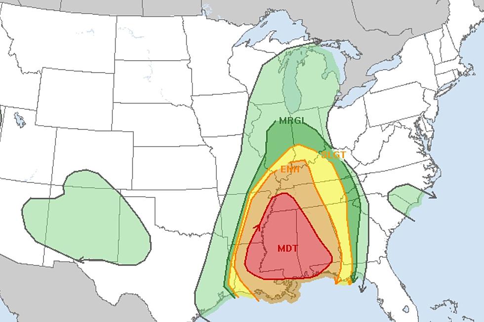
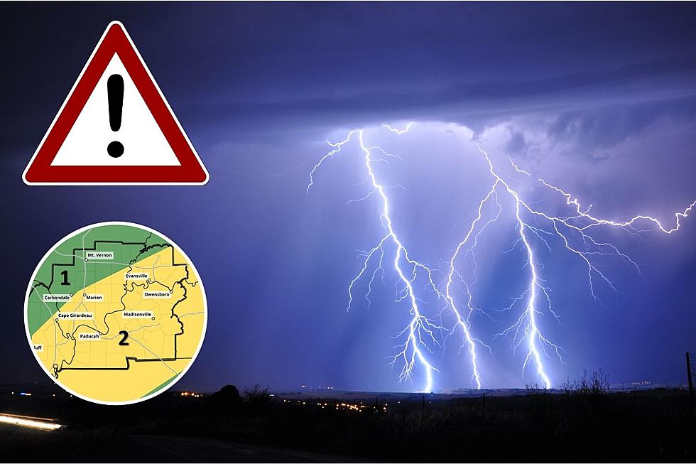
I've chatted with Eyewitness News Chief Meteorologist Wayne Hart a number of times about the unusual nature of our weather pattern, of late. And we're in agreement that it's been a trade-off--great weather but the rain situation is a bit dire. But those who desperately need it may get it in buckets this Sunday. The National Weather Service has put western Kentucky and portions of southern Indiana under a Slight (Level 2) risk for severe weather to wrap up the weekend.
There are multiple reasons for the issuance of a severe weather threat at any level. For those of us here in the tri-state, we're possibly looking at a soaker on Sunday. Here's what the National Weather Service is saying about Sunday's event:
Scattered to numerous thunderstorms return to the forecast late Saturday night, Sunday, and Sunday night. Some of the storms could be severe Sunday afternoon into Sunday evening. At this time, damaging winds, large hail, and locally heavy rain will be the primary threats.
It seems unusual to be surprised by a system like this moving into the area at this time of the year; late spring is typically when we CAN expect this sort of thing. But since we've gone so long with hardly any rain at all, I guess it is a small stunner.
Since we're two days away from the event, there's time for this to evolve one way or another. You'll find local updates on the National Weather Service's Paducah page.
LOOK: The most extreme temperatures in the history of every state
LOOK: The most expensive weather and climate disasters in recent decades
More From WBKR-FM



![Severe Storms Tear the Roof Completely Off Indiana Church [PHOTOS]](http://townsquare.media/site/71/files/2023/03/attachment-St-Joe-Damage-South-Face-02.jpg?w=980&q=75)

