![Slight Risk for Severe Weather in Tristate Today [Forecast]](http://townsquare.media/site/76/files/2016/04/A34.jpg?w=980&q=75)
Slight Risk for Severe Weather in Tristate Today [Forecast]
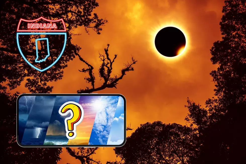
A round of storms yesterday (and a couple of tornado warnings) and we could see even more of them today. The National Weather Service has placed parts of the WBKR listening area under a SLIGHT RISK of severe weather for this afternoon and evening and we may see additional chances for severe weather this weekend. Here's the latest forecast!
From the National Weather Service:
THIS HAZARDOUS WEATHER OUTLOOK IS FOR PORTIONS OF SOUTHERN
ILLINOIS...SOUTHWEST INDIANA...WESTERN KENTUCKY AND SOUTHEAST
MISSOURI.
TODAY AND TONIGHT
THERE IS A SLIGHT RISK OF SEVERE STORMS TODAY, PARTICULARLY THIS
AFTERNOON AND EVENING, ACROSS THE BULK OF THE QUAD STATE REGION.
DAMAGING WIND AND LARGE HAIL ARE THE PRIMARY SEVERE WEATHER
HAZARDS EXPECTED, BUT ISOLATED TORNADOES ARE ALSO POSSIBLE. HEAVY RAIN AND LIGHTNING WILL POSE ADDITIONAL HAZARDOUS THREATS WITH STRONG OR SEVERE STORMS.
THURSDAY THROUGH TUESDAY
ADDITIONAL THUNDERSTORMS ARE FORECAST THIS WEEKEND AND MAY INCLUDE HEAVY RAIN AND SEVERE WEATHER HAZARDS AS WELL.
More From WBKR-FM


![Dazzling, Frightening ‘River Tornado’ Straddles the Ohio Between KY & IN [VIDEO]](http://townsquare.media/site/76/files/2024/03/attachment-Untitled-design-2024-03-15T173728.814.jpg?w=980&q=75)

