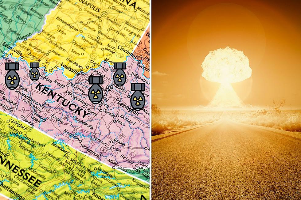
According to This FEMA Map, Several Areas of Kentucky Could Be Targets for Nuclear Attack
A map released by the Federal Emergency Management Agency (FEMA) back in 2015 has resurfaced recently and is getting some attention, especially in the wake of the escalating situation between Russian and Ukraine.
The map above shows areas of the country that have been identified as likely targets in the event of a nuclear attack against the United States. To give you a better idea of what you're looking at - the purple triangles represent an area that is most likely to be hit during a first-strike scenario (with approximately 500 missiles). The black dots represent areas that are likely to be targeted in a full-blown warhead scenario (with about 2,000 missiles).

You can see the eastern half of the county is covered in purple triangles and black dots, and the Tri-State area (IN, IL, KY) is smack dab in the middle of it. We're certainly not as "popular" as the east coast, but we're also not just sitting back and twiddling our thumbs if (God forbid) we ever hear those sirens go off.
Should Kentucky Be Concerned?
What a dumb question (I can say that, I asked it) - of course Kentucky, and the rest of the country, should be concerned if nuclear weapons are being used. For the sake of this article, though, there are parts of Kentucky that seem more likely to be targeted than others. Looks like those in the southern portion of the state, especially to the east, might be safe and sound. It's the northern part of Kentucky, all along the Indiana and Ohio borders, that has way too many black dots for my comfort.
Keep in mind that this map was released in 2015, so it's very possible that this information has changed in the last several years. I'll admit the map is a little startling, but I am certainly not going to lose any sleep over it and I wouldn't recommend that you do either.
Can You Solve These Kentucky 'Jeopardy!' Clues?
15 Products You May Not Know Were Manufactured in Kentucky
Oddball Kentucky Attractions
More From WBKR-FM


