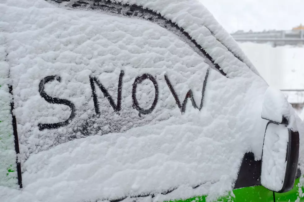
![Ron Rhodes Predicts Up to a Foot of Snow Friday [Forecast]](http://townsquare.media/site/76/files/2018/01/901189204.jpg?w=980&q=75)
Ron Rhodes Predicts Up to a Foot of Snow Friday [Forecast]
A major snow storm is brewing and it appears we are going to see measurable snowfall on Friday into Saturday here in the WBKR listening area. And, according to Eyewitness News meteorologist Ron Rhodes, some models are showing the possibility of up to a foot of snow in certain areas. The only question now is who's going to be in the storm track and get it?
As of today, the forecast models simply cannot agree who's going to get the brunt of this storm. According to Ron, some of those models show the track north of the Ohio River. Some show the heaviest bands plowing through areas south of the river. Others push the heaviest snowfall to the eastern side of Kentucky. But, as Ron stated this morning on the show, somewhere . . . in the Ohio Valley or Tennessee Valley . . . is going to see A LOT of snow.
The Weather Channel is currently being a little more modest in predictions for the tristate area. According to their extended forecast, areas near Owensboro-Daviess County could see up to three inches.

Obviously, it's too early to tell who's going to get what . . . but we'll keep an eye on the forecast as Friday gets closer. As Ron says, "Somewhere in the region . . . there's going to be heavy snow." As of now, we remain in a waiting game.
More From WBKR-FM