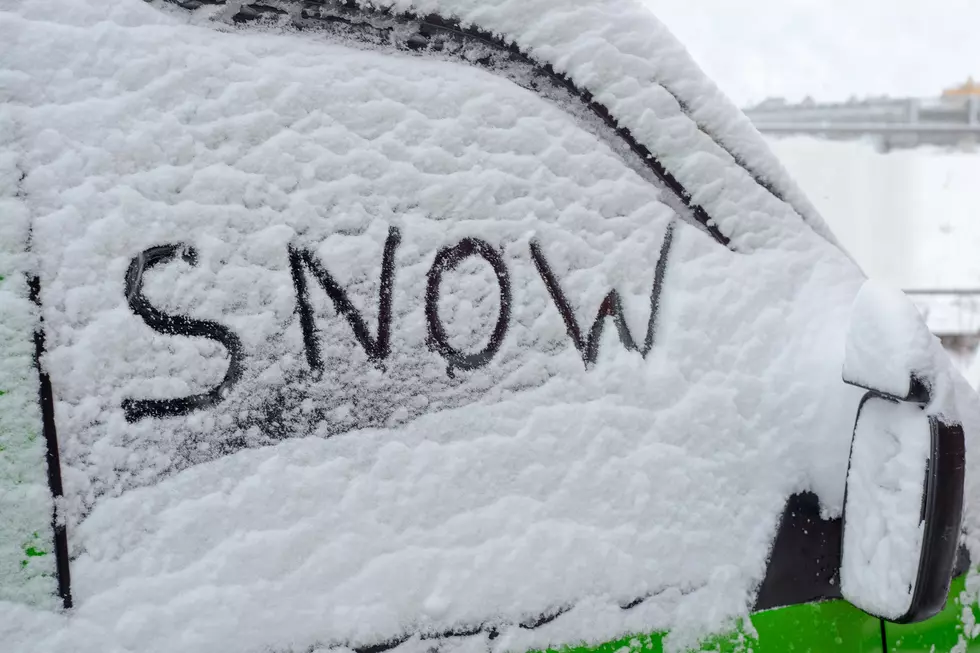
The Final Week of 2023 Could Bring Some Snow to KY, IN & IL
We didn't get a white Christmas here in the Tristate area. In fact, we didn't even come close to having one. The highs on Christmas Eve pushed into the mid 60s (it was unseasonably warm) and Christmas Day just brought a lot of clouds and rain to the area.
That said, there's a little bit of hope for folks here in southern Illinois, southern Indiana and western Kentucky who were banking on seeing some snow during the holiday season. The National Weather Service says we could see some light snow on and off starting this Wednesday night. While we're not expecting the snow to cause any travel issues, we could see our first real dusting of the winter!

Here's the latest precipitation forecast from the National Weather Service Office in Paducah.

As you can see from the graph above, any precipitation amounts will be trace at best, but fans of snow will at least get to see it- even if it doesn't amount to much or last very long.
The NWS says- We wanted to keep you informed on the potential for some light snow over the next several days, primarily focused on Wednesday night into Thursday morning and then again Thursday night into Friday morning. Temperatures should largely be at or above freezing, preventing much if any accumulation. However, rates may be heavy enough for short periods of time to cause a dusting of accumulation on mainly grassy surfaces.
As for New Year's Eve and New Year's Day, the extended forecast for both days, at least for now look to be dry, with highs on New Year's Eve in the lower 40s and the high on the first day of 2024 sitting around the 40 degree mark.
To keep track of the latest weather, you can download the WBKR app.

You can also follow our official weather partners at Eyewitness News and the National Weather Service.
KEEP READING: Get answers to 51 of the most frequently asked weather questions...
More From WBKR-FM