Do you know a high school or college student interested in meteorology or atmospheric science? Here's where they can have a really cool experience this summer. -->
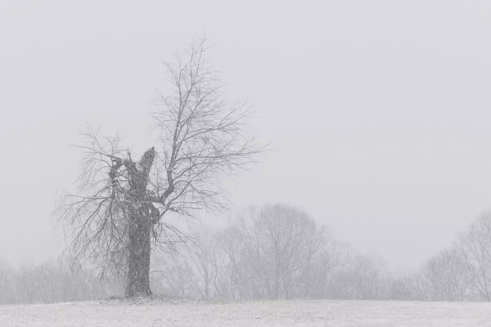
I know what you're thinking, "will we see a white Christmas this year?" Short answer, definitely not as the forecast calls for partly sunny skies and highs in the low 70's on Saturday.
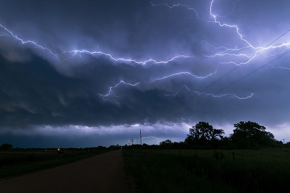
Spring is only a week old and we're already into the stormy season. In fact Saturday, we'll see nice conditions only to have those go away with a front moving in and with it, the possibility of severe weather for the Tri-State.
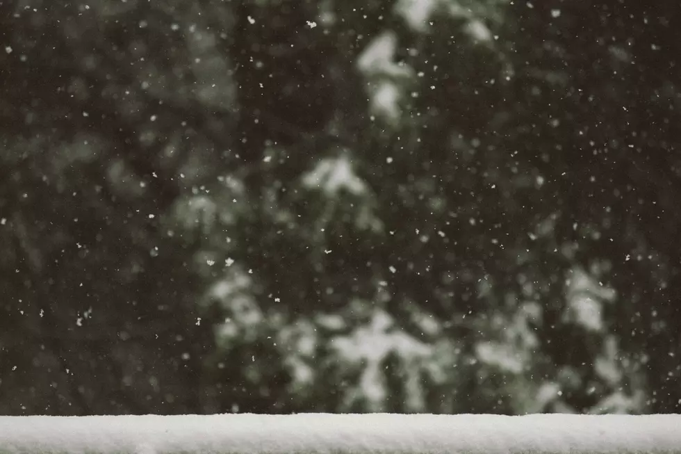
Ready for starting up your car and scraping off your windows? The Tri-State could see its first snow of the season starting Sunday night. One key is the Saturday and Sunday night lows will hover around 32 degrees. Gusty winds will also help cool us off.
Who knew that when Daylight Savings Time started that the weather would instantly start to look frightful. Here's what we have on tap for the first full week for November.
Huh? The National Weather Service at Paducah, which serves a majority of the Tri-State is looking for observers who can keep tabs on snowfall and rainfall.