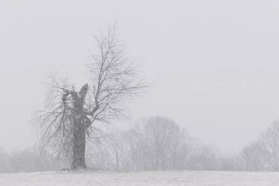
Winter Storm Warning Issued for Tonight Through Tuesday Morning
The National Weather Service in Paducah has now issued a Winter Storm Warning for parts of the WBKR listening area. The emphasis is on heavy snow. The warning will go into effect tonight at 6:00 p.m. and go through 6:00 a.m. Tuesday morning. Snow accumulations with this warning call for 5 to locally 9 inches.
Here are the details:
...WINTER STORM WARNING IN EFFECT FROM 6 PM THIS EVENING TO 6 AM
CST TUESDAY...

* WHAT...Heavy snow expected. Total snow accumulations of 5 to
  locally 9 inches. Precipitation may start as sleet in the
  Hopkinsville area tonight.

* WHERE...Portions of southwest Indiana, western Kentucky, far
  southeast Missouri, and far southeast Illinois.

* WHEN...From 6 PM this evening to 6 AM CST Tuesday.

* IMPACTS...Travel conditions will become dangerous tonight and
  Monday. Commutes Monday morning, Monday evening, and Tuesday
  morning will be impacted.

* ADDITIONAL DETAILS...North winds 10 to 15 mph with gusts to 20
  mph will likely cause blowing and drifting of snow. Very cold
  wind chill temperatures are also forecast.

PRECAUTIONARY/PREPAREDNESS ACTIONS...

If you must travel, keep an extra flashlight, food, and water in
your vehicle in case of an emergency.
Keep in mind, temperatures will continue to be bitter cold through at least Saturday and not to mention another winter storm is expected Wednesday night into Thursday.

Get our free mobile app
We will keep you posted with all the latest conditions on-air, on the WBKR app, the WBKR Facebook page, and with the help of our friends at Eyewitness News and the National Weather Service.
KEEP READING: 9 Great Places for Sledding in Indiana & Kentucky
More From WBKR-FM