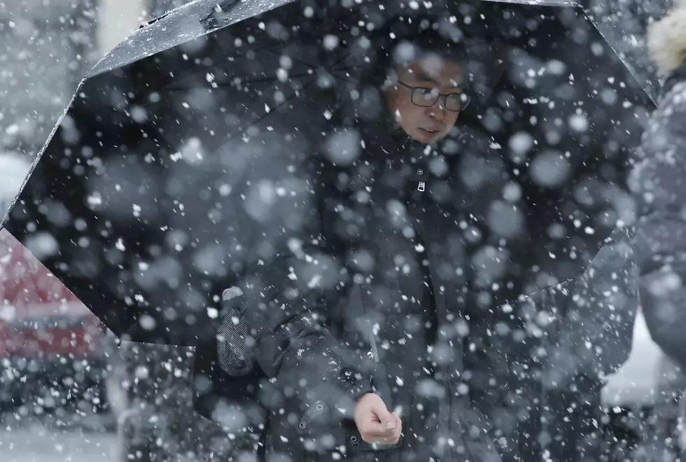
Winter Weather Not Done in Western Kentucky
According to the calendar, spring begins a week from Tuesday, but not before Mother Nature unleashes one more taste of winter. ***UPDATED***
Portions of Western Kentucky, now including Owensboro/Daviess County are under a Winter Storm Warning, from the National Weather Service in Paducah:
...WINTER STORM WARNING IN EFFECT UNTIL 4 AM CDT MONDAY...

* WHAT...Heavy wet snow expected. Total snow accumulations of 3 to
  5 inches are expected. Isolated higher amounts are possible in
  small bands of heavy snow.

* WHERE...Portions of western Kentucky and southern Illinois.

* WHEN...Until 4 AM CDT Monday.

* ADDITIONAL DETAILS...Plan on difficult travel conditions. Be
  prepared for significant reductions in visibility at times. Snow
  accumulations are expected, especially on grass, trees and
  untreated,elevated roadways. However, more hazardous travel
  conditions mat occur if the snow rates increase with
  temperatures near freezing.


PRECAUTIONARY/PREPAREDNESS ACTIONS...

A Winter Storm Warning for snow means severe winter weather
conditions will make travel very hazardous or impossible. If you
must travel, keep an extra flashlight, food and water in your
vehicle in case of an emergency. The latest road conditions for
the state you are calling from can be obtained by calling 5 1 1.
Hancock and Ohio counties are under a Winter Storm Warning as well. The timeline is 7:00 p.m. until 7:00 a.m. Monday.
More From WBKR-FM


![Parts of the Tristate Under Winter Weather Advisory Tonight [Forecast]](http://townsquare.media/site/76/files/2021/02/gettyimages-162766900-594x594.jpg?w=980&q=75)
![Winter Weather Advisory Issued for Parts of Tristate [Forecast]](http://townsquare.media/site/76/files/2019/11/A15.jpg?w=980&q=75)