Ice Storm Warning and Winter Storm Warning Issued for Tri-State
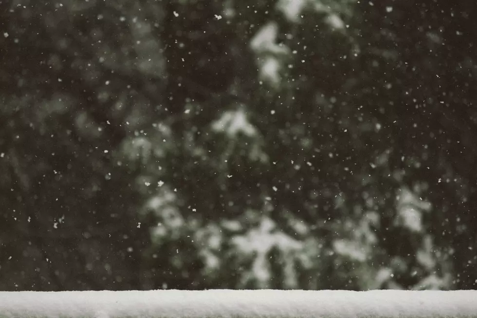
Winter weather is about to blast through Kentucky, Indiana, and Illinois. The National Weather Service in Paducah has issued an Ice Storm Warning for portions of southern Illinois and western Kentucky and a Winter Storm Warning for portions of southern Illinois and southwest Indiana.
The time frame for the Ice Storm Warning is Sunday from 2:00 a.m. until Monday at 6:00 a.m. The Winter Storm Warning is in effect Sunday 4:00 a.m./5:00 a.m. EST until Monday 6:00 a.m./7:00 a.m. EST.


...ICE STORM WARNING REMAINS IN EFFECT FROM 2 AM SUNDAY TO 6 AM CST
MONDAY...

* WHAT...Significant icing expected. Total snow and sleet
  accumulations up to two inches and ice accumulations between one
  quarter and three quarters of an inch.

* WHERE...Portions of southern Illinois, western Kentucky, and
  southeast Missouri.

* WHEN...From 2 AM Sunday to 6 AM CST Monday.

* IMPACTS...Roads, and especially bridges and overpasses, will
  likely become slick and hazardous. Significant ice accumulation on
  power lines and tree limbs may cause widespread and long-lasting
  power outages. Expect power outages and tree damage due to the
  ice. Travel could be impossible.

* ADDITIONAL DETAILS...An arctic blast will arrive Monday and last
  through most of the week. Wind chill values will drop into the
  single digits or below zero at times, which can be even more
  dangerous with any long duration power outages.

PRECAUTIONARY/PREPAREDNESS ACTIONS...

Travel is strongly discouraged. If you must travel, keep an extra
flashlight, food and water in your vehicle in case of an emergency.
Prepare for possible power outages. The latest road conditions can
be obtained by visiting www.weather.gov/pah/roads

Persons should delay all travel if possible. If travel is absolutely
necessary, drive with extreme caution and be prepared for sudden
changes in visibility. Leave plenty of room between you and the
motorist ahead of you, and allow extra time to reach your
destination. Avoid sudden braking or acceleration, and be especially
cautious on hills or when making turns. Make sure your car is
winterized and in good working order.

Do not touch downed lines and report any power outages to your
electric company. Travel is highly discouraged due to slick roadways
and the possibility of downed trees and power lines.
Here is the Winter Storm Warning information:
...WINTER STORM WARNING REMAINS IN EFFECT FROM 4 AM CST /5 AM EST/
SUNDAY TO 6 AM CST /7 AM EST/ MONDAY...

* WHAT...Heavy mixed precipitation expected. Total snow and sleet
  accumulations between 3 and 5 inches and ice accumulations between
  two tenths and one half of an inch.

* WHERE...Portions of southern Illinois and southwest Indiana.

* WHEN...From 4 AM CST /5 AM EST/ Sunday to 6 AM CST /7 AM EST/
  Monday.

* IMPACTS...Significant ice accumulation on power lines and tree
  limbs may cause widespread and long-lasting power outages. Power
  outages and tree damage are likely due to the ice. Travel could be
  nearly impossible. The hazardous conditions could impact the
  Monday morning commute.

* ADDITIONAL DETAILS...An arctic blast will arrive Monday and last
  through most of the week. Wind chill values will drop into the
  single digits or below zero at times, which can be even more
  dangerous with any long duration power outages.

PRECAUTIONARY/PREPAREDNESS ACTIONS...

If you must travel, keep an extra flashlight, food, and water in
your vehicle in case of an emergency. The latest road conditions can
be obtained by visiting www.weather.gov/pah/roads

Persons should delay all travel if possible. If travel is absolutely
necessary, drive with extreme caution and be prepared for sudden
changes in visibility. Leave plenty of room between you and the
motorist ahead of you, and allow extra time to reach your
destination. Avoid sudden braking or acceleration, and be especially
cautious on hills or when making turns. Make sure your car is
winterized and in good working order.

Do not touch downed lines and report any power outages to your
electric company. Travel is highly discouraged due to slick roadways
and the possibility of downed trees and power lines.
Travel will be delayed, and strongly discouraged in these conditions. The NWS has these tips to prepare:
***Make sure you have emergency supplies for your home and car, check your smoke detectors and carbon monoxide protectors, and replenish fuel for your car and your heating resources
One Day Out: Adjust plans, have multiple ways to receive warnings, bring pets indoors, and ensure they have water.
During and After: Check on neighbors and family, properly ventilate emergency heat sources, if you have a generator, keep it at least 20 feet from your home, and take it easy when shoveling.
We along with Eyewitness News will keep you updated on the latest information. Be safe!
Kentucky News Stories of 2004
Gallery Credit: Dave Spencer
More From WBKR-FM