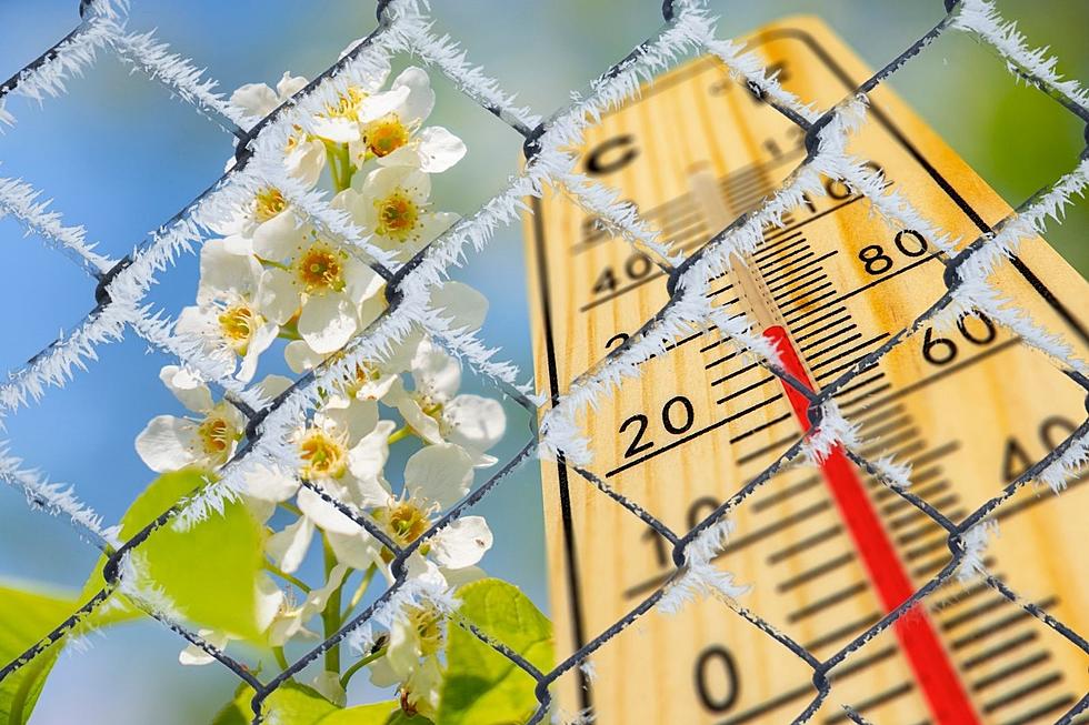
Ah, Ohio Valley and Kentucky Weather…from a Freeze Warning and Frost to 80 Degrees in the Span of a Week
Believe it or not, there IS a certain time of the year when Kentucky does NOT experience unusually wild swings in temperature. That would be July and August. Maybe June, but I HAVE had to wear long sleeves in June, so maybe not after all.
22 years ago on January 3rd, 2000, I started the day in shorts and sandals. It was 73 degrees. Why it didn't IMMEDIATELY occur to me something was wrong escapes me. And of course, something was TERRIBLY wrong. An EF-3 tornado whipped through Owensboro and completely destroyed 110 structures. That there was no loss of life that day remains one of the great miracles of modern weather. How fortunate we were.
And then, of course, it got very cold because, well, it was JANUARY. There was practically a 60-degree difference between the high temperature on January 3rd and the low temperature on January 4th.
That kind of wild swing will never happen in summer in Kentucky. I don't envision a July or August day in the Commonwealth bottoming out in the high 40s or low 50s. But we WILL come close this week.
As I write this, part of a region extending from southeastern Missouri into southern Illinois is under a freeze warning--meaning if it has started to bloom or HAS bloomed and it's portable, you'd better get it inside.
Here's what we have from the National Weather Service:
A Freeze Warning has been issued for much of southern Illinois and
southeast Missouri from 2 AM to 8 AM CDT. Please refer to Warning
for details. In addition, a Special Weather Statement has been
issued for the remainder of the region for frost or a brief light
freeze in isolated, sheltered areas.
For the rest of us, this special weather statement from the NWS indicates something less threatening to plant life:
Isolated areas across southwest Indiana and a long and east of
the Lakes in west Kentucky may experience a brief freeze or patchy
frost late tonight, mainly in sheltered areas. Drier air moving
in tonight along with a persistent northwest breeze should prevent
more widespread frost formation.
Still, if you can, I'd move whatever CAN be moved into the garage or basement, and then get ready to bring it right back out because look what we're going to experience by week's end. Here's the 7-day outlook from Eyewitness News:
Right now in my closet, I have lightweight short-sleeved shirts, shorts, hoodies, and long-sleeved pullovers. All clean. All ready to wear.
Is this a new thing? No, I guess not. But I feel like it's been a while since we've experienced this kind of difference in temperatures, even IF it should come as no surprise in Kentucky.
En route to that 80-degree reading, we will deal with some rain, but it's April and that's a NORMAL occurrence. That's why we have the phrase "April showers."
Enjoy the week while I sit here and process the fact that something that's actually NORMAL will happen in Kentucky over the next few days.
KEEP READING: Get answers to 51 of the most frequently asked weather questions...
LOOK: The most expensive weather and climate disasters in recent decades
Gallery Credit: KATELYN LEBOFF
More From WBKR-FM


