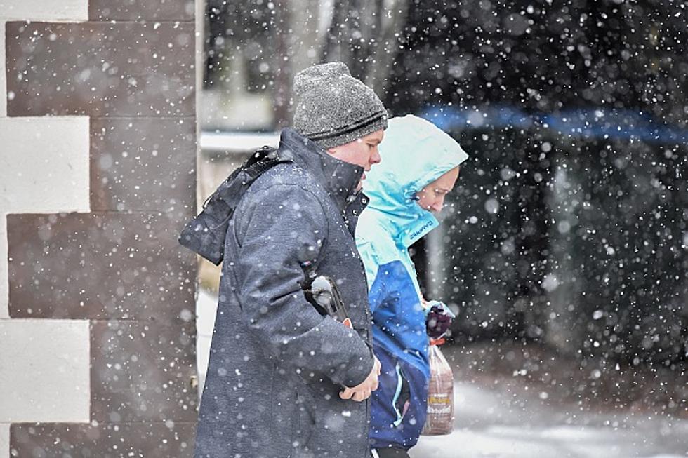
If you wanted some winter weather, we're about to get it. The National Weather Service says we could see accumulating snow and bitter cold temps this week in the Owensboro area.
It's Fall, Ya'll! Local Lifestyles hosts Ange Humphrey and Ron Rhodes had a surprise cameo appearance on Last Week Tonight with John Oliver. Here's the video!
He says he needs ice skating lessons, and that's true. But he did a MUCH better job than I would have done. And as you'll see, that's SAYING something.
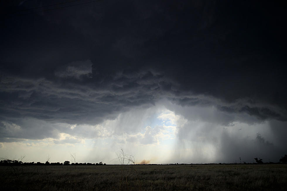
The National Weather Service forecast for the week is incredibly wet. Heavy rains are forecast in western Kentucky and southern Indiana. Here's what we can expect and when.
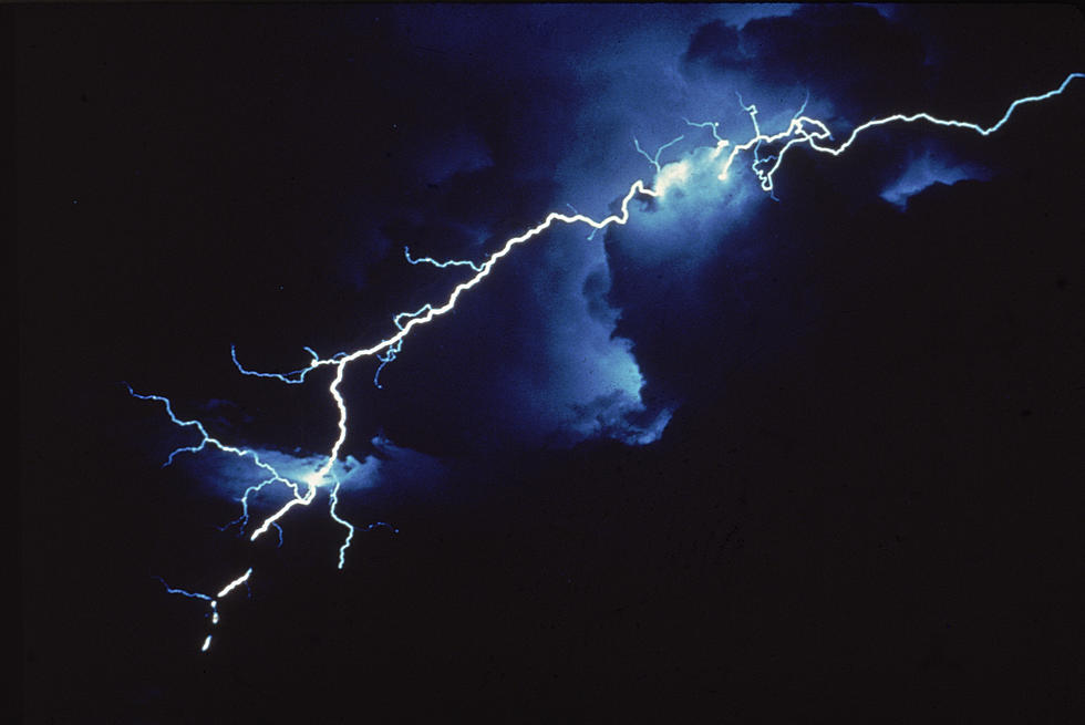
The National Weather Service has placed parts of the tristate under a Slight Risk of severe weather on Easter. Some areas south of the Ohio River face an Enhanced Risk.
The National Weather Service has placed parts of the tristate under a Slight Risk of severe weather on Easter. Southern portions are under an Enhanced Risk.
Various forecast models are calling for really cold temperatures and the chance of wintry precipitation early next week. We could see light snow and lows in the teens.

![Ange and Ron Make Cameo on John Oliver's Show [Video]](http://townsquare.media/site/76/files/2021/09/attachment-Fall1.jpg?w=980&q=75)
![Eyewitness News' Joe Bird on Ice...Hilarious [VIDEO]](http://townsquare.media/site/76/files/2021/07/attachment-Bird-on-Ice.jpg?w=980&q=75)
![Parts of Western KY Could See Five Inches of Rain [Forecast]](http://townsquare.media/site/76/files/2021/06/gettyimages-1204943964-594x594.jpg?w=980&q=75)
![Try Not to Cringe Watching Ron Rhodes Pay Up on Lost Bet [Video]](http://townsquare.media/site/782/files/2020/11/Ron-and-Jake-featured.jpg?w=980&q=75)
![Rascal the Cat Doesn't Like Ron Rhodes' Forecast [Video]](http://townsquare.media/site/76/files/2020/09/A4.jpg?w=980&q=75)