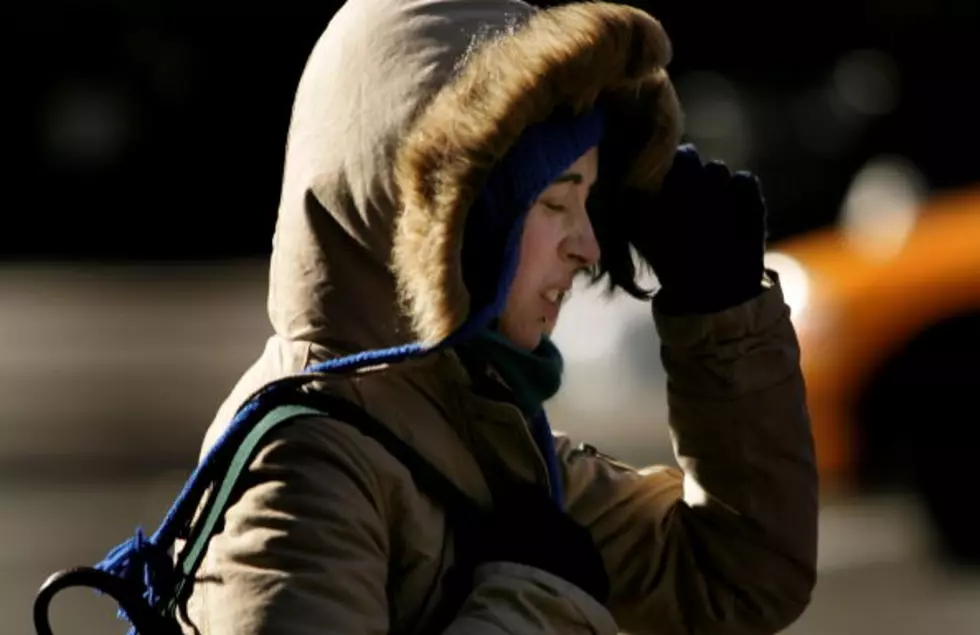
It looks like our streak of unseasonably warm weather is about to come to a bitterly cold end. Lows in the 20s are in the forecast and so is the word "snow."
If you wanted some winter weather, we're about to get it. The National Weather Service says we could see accumulating snow and bitter cold temps this week in the Owensboro area.
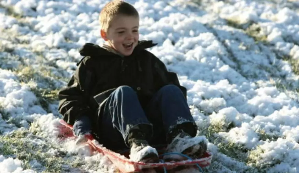
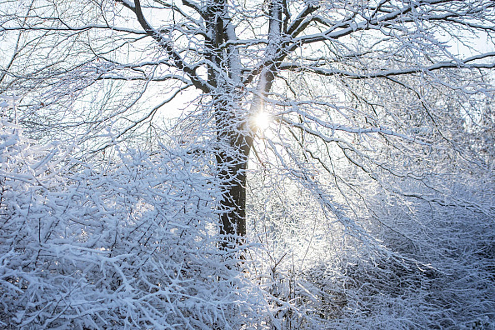
Two winter storms are taking shape for next week and some forecast models are suggesting up to a foot of snow twice here in the tristate. Here's the latest!
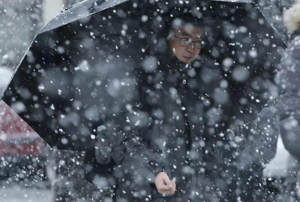
Well, here we go again. According to the National Weather Service and local forecasters, we could see accumulating snow for the second weekend in a row.
I am not ready for this! But, this morning on here on WBKR, Eyewitness News meteorologist Ron Rhodes said we could see snow early next week. And we're going to see highs in the 30's. UGH!
I only wish I was kidding. A day after we had temperatures in the 70's and an outbreak of severe weather, we are now facing a chance of sleet and snow. Yes, I know it's April. But, get ready! A dose of winter could return in a couple of days.
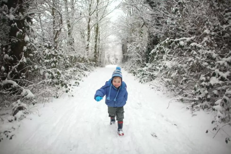
Well, don't get used to the sunny skies and temperatures near sixty we're going to experience today. By this time next Friday, it's going to be much colder and we could have snow on the ground. Various forecasting services are calling for the return of accumulating snow!
The Weather Channel is warning residents of the Ohio Valley that a tornado outbreak could occur today. In fact, the network's tornado expert Dr. Greg Forbes has placed parts of Western Kentucky in a TOR:CON 6 category. Here's what that means . . .
The National Weather Service is warning of another severe weather outbreak this afternoon and the tristate is right in the heart of the area of concern. In fact, The Weather Channel has issued its TOR:CON ratings, which serve as a pretty accurate indicator of tornado-like conditions. See what we're looking at here . . .
Hold onto Toto, Dorothy! The National Weather Service is warning of a potential tornado outbreak for Sunday and Monday and some forecasters are saying the models closely resemble those from back in 1991, when a massive twister outbreak caused over one billion dollars worth of damage. Here's the latest on what we can expect and when and how serious the threat is for us here in the Ohio Valley.
Re
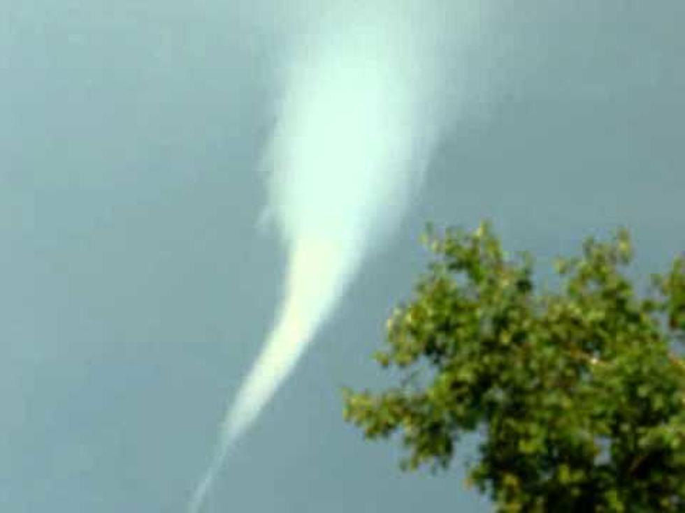
The last two days I have received Special Weather Statements from AccuWeather and my Weather Channel app about cold air funnels. And that got me thinking and asking myself, "What the heck is that?" So, I did a little research and found some video of one. Check this out!

![Could We See a Foot of Snow Twice Next Week? [Forecast]](http://townsquare.media/site/76/files/2021/02/gettyimages-1296872641-594x594.jpg?w=980&q=75)